The Cabinet of Ministers of Ukraine during a meeting supported the draft law "On the National geospatial data infrastructure".
Create NGD provided by the EU Directive INSPIRE, which is binding for all countries-EU members and candidates for accession to the EU, but is hampered by the absence of legislation on this issue.
The bill will establish a legal framework for the creation, functioning and development of National geospatial data infrastructure will contribute to the needs of society in various spheres of activity and integration of Ukraine to the European and global geospatial data infrastructure.
"We are very close to getting the legislative framework for the establishment, operation and development NHD and integration in the European informational space within the framework of the INSPIRE Directive. Thanks to the development of NGD public authorities, local governments, and the private sector will be able to rely on complete and accurate information base for decision-making regarding land relations and development of the territories will be eliminated duplication of work and expenditure of the state budget for the creation of geospatial data at different levels, will be provided with the information needs in the field of construction and engineering, ecology, navigation, defense and security of the state", – commented on the adoption of the draft law, first Deputy Minister of agrarian policy and food of Ukraine Maxim Martyniuk on his Facebook page. To establish a National geospatial data infrastructure will use existing geospatial data and metadata created by the public administration.
Geospatial data is created according to the results of topographic and geodetic and cartographic activities, the establishment of the state cadastres, registers and all types of environmental monitoring provided by the expenditures of the State budget for the year, given the financial possibilities.
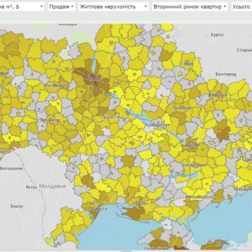
National geospatial data infrastructure is a complex system that is comprised of dozens of layers of information with an important spatial data (topography, underground/above ground utilities, water and forest resources, infrastructure, real estate, statistics, demographics, and so on.) on the basis of a unified geodetic and cartographic framework. Ensure wide and easy access to this information through a single geoportal will allow many industries and government agencies to increase efficiency, reduce the costs for data retrieval.
Source: Derzeitiger

